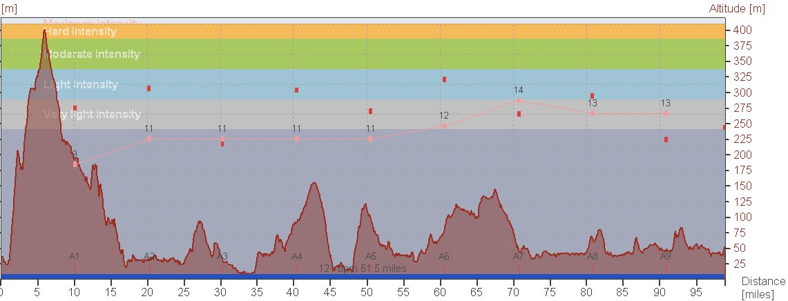
In 6hrs 36 mins burning 2795 Kcal climbing 4280ft
Miles total 1266
In 85hrs 48mins burning 39260 Kcal climbing 56573ft
Most miles in a day : 106.2
 |
| The View |
 Another day, another spot of rain. 4 hours of it this time, and colder.
 Fort Augustus is at the south west end of Loch Ness, and there are roads up the south and north side of the Loch, both ending up in Inverness. There is also a cycle path on the north side of the Loch, but it is forestry trails, so this was out as an option for me. The north side is the A82 trunk road, the south side single track road. I went south. I left the B&B at 9 and started the 1200 ft climb out of Fort Augustas. The rain became heavier, then reduced to a light drizzle at the top. There is a view point from here, weather permitting.
The descent was not good. I can’t see out of my glasses, and rain into the eyes at 30mph+ is not great. I refuse to use my brakes on descents, especially dead straight ones like this, so it was stinging face for me. Ultimately the road joined the bank of the Loch, and there is a slight climb into Inverness. I was cold and when Denise caught up with me, after about 35 miles, I put a heavier jacket on under my raincoat. The irony was that as I came down, there was some sort of cycle event going on coming towards me. There were men in cotton T shirts and shorts. They are hard up here.

Denise and I meet just outside Alness, and a quick look at the map confirmed that going to Tain was best. The sustrans route was going to Tain, but I had no idea which way. So the adventure continued. It was a good route through narrow, but direct traffic free roads. It was now, after 4 hours, I took my raincoat off.
 In Tain I had a quick bit to eat and was off again, north on the A9. We arranged to meet again in Golspie, but we pulled up at different places. A quick phone call, and a slight back track from me, heavy jacket off as I was now too warm and off to the B&B.
I have noticed that my body is starting to come out of its fatigue. I have more power on the climbs, I need less to eat and am less tired. I can push 16/18mph on the flat which is not fast, and I don’t climb as fast as I can, but I have done a few miles in the last two weeks.
One more day. I am not certain what I am going to do on Monday. I am enjoying it.
No comments:
Post a Comment